Showing posts with label then and now photographs. Show all posts

Thursday, 26 May 2022

Then and Now Photographs

 Here are some more then and now photographs showing the changes to various local sites over time.


This is the corner of Hoddle Avenue and Grandview Drive, Campbelltown probably in the 1960s.


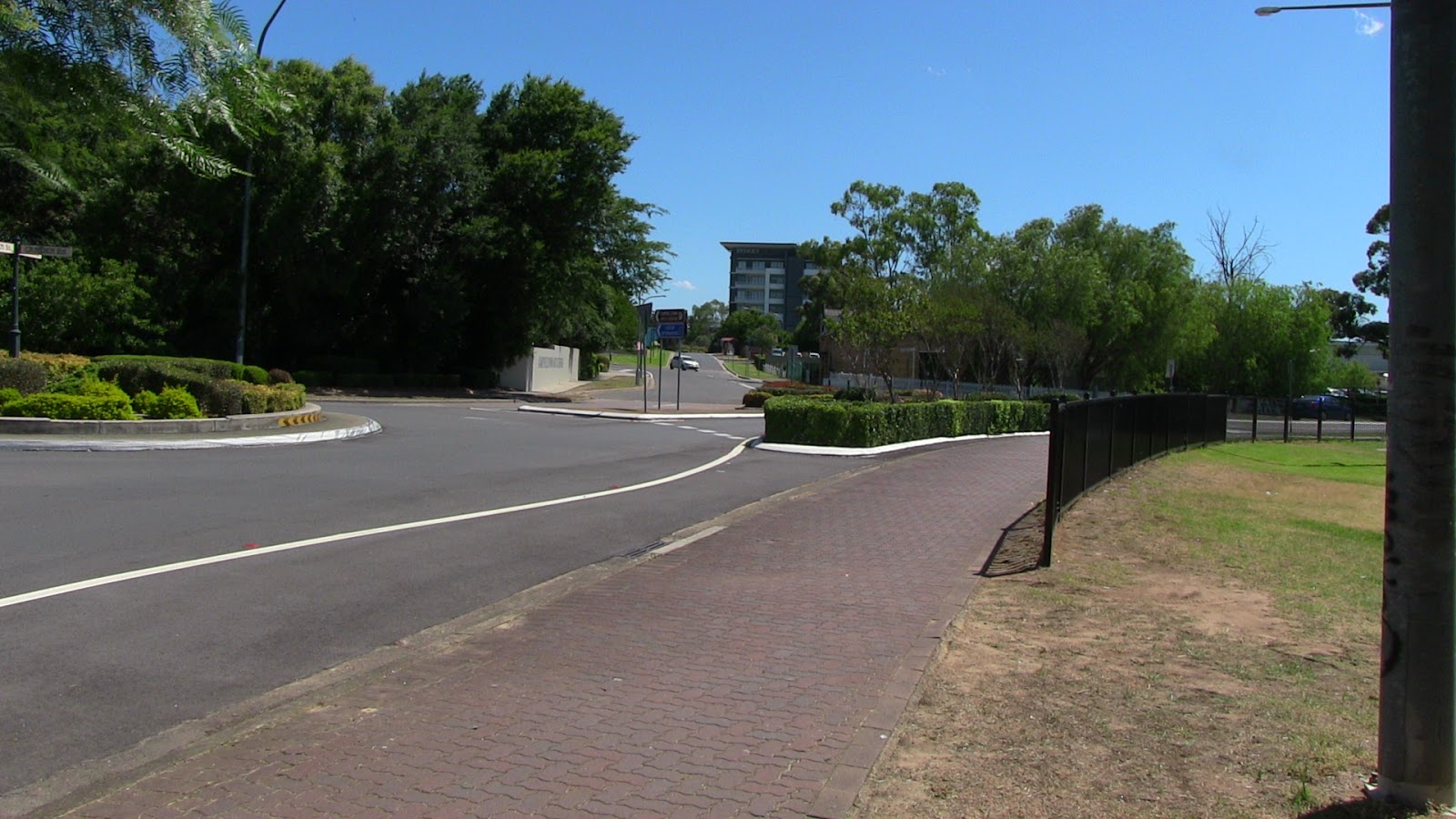
The same scene in 2022. Established trees now obscure the view!


This building was part of the Russian Orthodox settlement at Kentlyn.


I assure you the building remains relatively unchanged from the above shot!


The building known as the Coaching House at the southern end of Queen Street before it was renovated in the 1960s.


This what it looks like today. This group of colonial terraces was thankfully saved from demolition in the 1960s.


Written by Andrew Allen


Thursday, 21 November 2019

Latest Then and Nows


These images are taken near the intersection of Appin Road and Woodland Drive, St Helens Park. The above shot was taken in 1983. St Helens Park House can still be seen through the trees.


This shows St John's Catholic Cemetery taken in 1984 and today. The 1984 service was for the Sesquicentenary of the church.

The service station in the above 1981 photograph has gone replaced by the front lawn of Council's Civic Centre.

Many changes in this comparison shot. The Quest Campbelltown now blocks out the view of the two-storey Hollylea on the left of the 1980 photo.

The older images come from our recently acquired Trevor Richardson Collection.


Written by Andrew Allen

Friday, 10 May 2019

More Then and Nows

Three out of the four comparisons below were taken around the area where Dumaresq Street intersects with Queen Street in Campbelltown. The other one is taken from Hollylea Road in Leumeah.


Corner of Moore-Oxley Bypass and Dumaresq Street. The above image of Tripp's Cottage was taken in the early 1980s. Today's car park below has obliterated virtually everything from the photo above.
 
Almost 100 years later this scene is so different. This was taken at the corner of Dumaresq and Queen Streets. Behind the trees is the Old CBC Bank that can just be seen in the above image.
 
 
The iconic Tripps Garage can be seen in the above image shortly before it was demolished around 1966. Behind it is the house where the family lived. Below is the same site today with Ralph's Chemist on the corner.
Much has altered since the above shot was taken, probably in the 1950s or early sixties. This part of what was then Campbelltown Road is now Hollylea Road. The old road now ends here. The site of Keighran's Mill would have been on the extreme right of the photograph. Not far behind the cars is the creek that can be seen in the old photograph.


Written by Andrew Allen

Tuesday, 12 September 2017

The Way We Were- Part 5

The next series of then and now photographs were taken around Campbelltown and Bradbury on September 11 2017.

The top photo is of an unknown street parade moving down Lindesay Street in Campbelltown.

The same spot today near the corner of Dumaresq and Lindesay Streets.


 Garnet Jennings and Frank Monaghan at St. John's Prepatory College for Boys. Photo taken in 1926.
 
91 years later and little has changed here. It's now St. Patrick's College for Girls.
 
 
Newly built houses in the 1960s in the new suburb of Sherwood Hills.
The same scene in 2017. Sherwood Hills later changed its name to Bradbury. The street is Lawn Avenue.
 
Quondong taken in 1960
 
 
Today Qoundong is the Tourist Information Centre. The environment around it has changed dramatically since the 1960 photograph was taken.
 

Written by Andrew Allen 

Tuesday, 23 May 2017

The Way We Were- Part 4

Some more then and now photographs


The corner of Copperfield Drive and Archibald Crescent, Rosemeadow in 1999 and 2017. The view is looking towards Copperfield Drive. The photograph above shows the land sales office at the new Rosemeadow Gardens Estate.


Above is "St Elmo" in Broughton Street taken around 1900. Below is the same scene today with those pesky trees in the way!


Taken in Railway Street looking towards Campbelltown Railway Station. The photo above was taken in 1986, just days before the Royal Hotel was demolished. This was difficult to line up a then and now comparison and not just because it was taken from the middle of the road! There was also some strange looks coming our way. If you look carefully you can just make out a chimney under the street light in the 1986 photograph. This is the same chimney under the aerial and near the replacement street light in the bottom photograph. This then and now comparison provides an indication of where the Royal Hotel was in relation to the realigned Railway Street.


Written by Andrew Allen

Thursday, 2 March 2017

The Way We Were- Part 3

Here are some more then and now photographs, back due to popular demand!


Photograph Above: Queen Street in the 1880s showing three of the colonial terraces at the southern end of the street

Photograph Below: From the same spot in 2016. Trees now dominate the scene and the dirt street is no longer. The colonial terraces thankfully remain.

 
Photograph Above: The level crossing on Camden Road in 1996. This was taken just before the overhead bridge on Narellan Road became operational.

Photograph Below: Taken in 2016, the road now stops at the railway tracks and traffic no longer moves on this road.


 Photograph Above: This photo shows the Fisher's Ghost Bridge in 1970

Photograph Below: The old bridge has long gone, Emily Cottage is now obscured by trees and Rydge's Hotel can be seen in the background.

Photograph Above: HJ Daley and Mayor Clive Tregear at the receiving of the lamp standard from the Council of the Municipality in Campbeltown, Scotland to Campbelltown City Council in 1966.

Photograph Below: A scene in 2016 that has changed so much and difficult to reconstruct. Note the posts on the side of the building that help line it up as close as we can get.


Written by Andrew Allen

Friday, 27 January 2017

The Way We Were- Part 2

Here are some more then and now photographs of Campbelltown as promised!


Above: Flood at Minto looking from front door of Minto Railway Cottage No.2 along the railway line towards Ingleburn with Victoria Road straight ahead. This was taken in 1961.

Below: The same site in 2017. Note the same tree in the foreground.


Three photographs taken at the intersection of Rose Payten Drive and Pembroke Road


Above: This photograph was taken in about 1960 and shows the charming house "Kialba" owned by Alfred Payten.

Below: A 2017 view of exactly the same spot. The palm trees still stand here, including the one on the extreme left of the photograph.


Above: Camden Road looking west from Hurley Street towards the level crossing and new overbridge on Narellan Road

Below: The same site in 2017. Traffic no longer flows on this part of Camden Road.


Written by Andrew Allen